Iceland by Sea
By Jean Cobb
|
|
By Jean Cobb |
In September of 2009 I finally had an opportunity
to go to Iceland. I had been trying
to take a trip
there since 2005 but each year something always happened to prevent me from
doing so. Although
this would not be the two-week stay via Elderhostel that I had envisioned, I
would be there for a full
day of sightseeing thanks to a cruise. My
cousin, Ken, had been trying to sell me on a cruise for
years with no success since any place that is crowded and glitzy (think Las
Vegas) is on my “Places
to Avoid” list. This time I
decided to go because of the itinerary and other compelling factors. So,
after flying to England, we embarked upon a sea and land adventure that took as
to two ports in
France, one in Ireland, one in Northern Ireland and ultimately to Iceland.
Iceland is an island that is roughly the size of
Virginia. Our excursion began in
Reykjavik which
is Iceland’s capital city with a population of 114,800; it is home to almost
half of the country’s
population. Reykjavik means “Smoky
Bay” for the steam rising from hot springs. It
is a charming
city with mostly white buildings with red roofs which is encircled with walls of
stark, gray volcanoes.
About 79% of Iceland’s land area, which is of
recent volcanic origin, consists of glaciers, lakes, a
mountainous lava desert and other uninhabited land. Because
of the Gulf Stream’s moderating
influence, the climate is characterized by damp, cool summers and relatively
mild but windy winters.
In Reykjavik, the average temperature is 52 degrees F. in July and 30 degrees F.
in January.
Particularly impressive is the emphasis the
Icelandic people place on education. School
attendance
is 99% and the literacy rate is 99.9%.
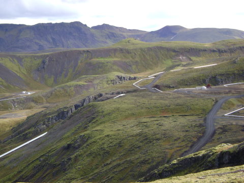
As we rode to our first destination, I looked out
over the rugged, stark landscape and marveled at
its unique beauty. We passed sheep
everywhere we traveled. Often there
were no homes in sight as
they are allowed to wander at will until winter when they are rounded-up to be
put inside. We saw
groups of Icelandic horses as well.
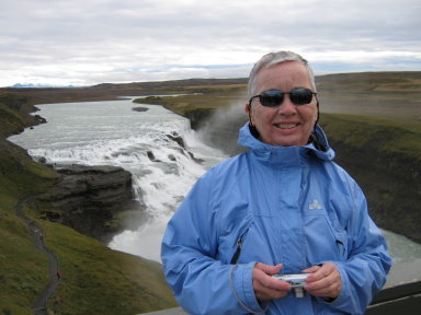
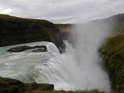
Our first
stop was the Gullfoss Waterfall which means Golden Waterfall, the most famous of
the
country’s many waterfalls. Here
the river, Hvita, drops 106 feet in two falls, creating an awesome
spectacle. This beautiful resource
was saved from damming and hydroelectric development by a
local farmer who protested the development, rallied support and forced the
government to purchase
the waterfall, declaring it a
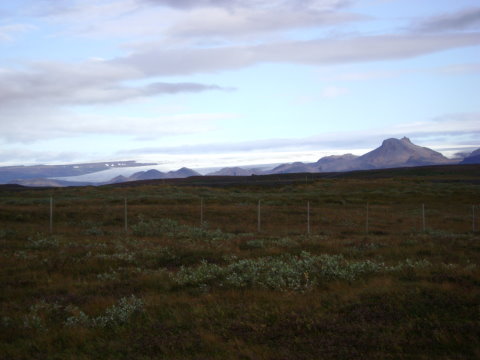
national monument. Standing next to
the falls, I could see a glacier in
the distance. Glaciers are one of
the most distinctive features of Iceland and cover over 11.5% of
the total area of the country. During
the past few decades, however, they have thinned and
retreated markedly due to a milder climate. Some
of the smaller ones have all but vanished.
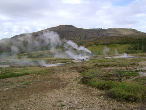
Our next stop was Geysir in Haukadalur from which
the international word “geyser” is derived.
The “Great Geysir” began erupting in the 13th century and ejects
a water column to a height of about
180 feet, but has had limited activity in recent years. The
“Strokkur”, or the churn, is now the most
reliable of geysers located on this parkland, erupting approximately every eight
minutes at heights
of up to 65 feet. As it bubbled and
boiled, the excitement would build
as we waited for what seemed
like an eternity with our cameras ready to catch that instantaneous eruption.
A network of walking
trails criss-cross this volcanically active area passing by a number of steaming
vents, mud and sulfur
formations, and boiling pools. During
this stop we had a traditional Icelandic lunch at the nearby
Geysir Hotel.
From here we were taken to the beautiful
Thingvellir National Park - a UNESCO World Heritage site.
It was here that the first National Assembly, the Althing, was established in
the year 1000. It is also
the site some of Iceland’s unique natural beauty. The
area is surrounded by mountains and
encompasses a vast lava plain of green moss and wild flowers. This
area is located atop the American
and European tectonic plates which continues to grow as the plates pull apart
with each volcanic
eruption and earthquake. As we
climbed to the top of the ridge of plates and along the Rift Valley;
the view was spectacular.
Next we visited a geothermal power plant with a
vast network of pipes stretching as far as the eye
could see. Abundant hydroelectric
and geothermal power sources allow over 90% of the population
to enjoy electricity and heating from these natural resources. The
hot water being carried by these
pipelines cools by only 2 degrees every 27 kilometers traveled due to the
insulation.
 Glacier |
 Waterfall |
 Geysers |
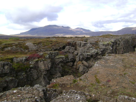 Tutonic Plates |
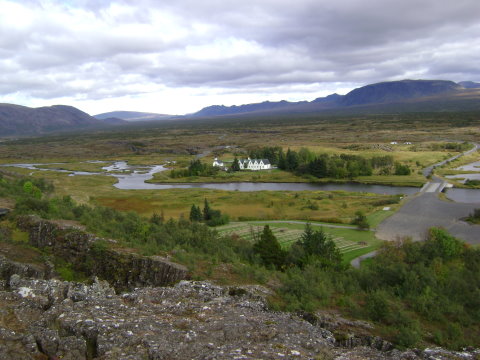 View from Rift Valley |
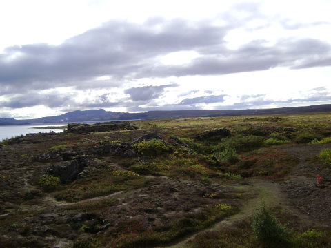 Lava Plains |
 Geothermal Power Plant |
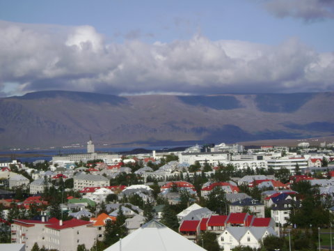 View of Reykjavik from the Pearl |
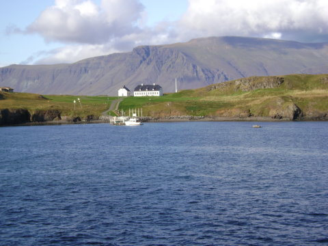 View of Iceland as the ship is leaving port |
*******************************************************************************
Home
Page
Iceland Meeting
Volunteers
Puzzle
Solution
Departed
Editor